
Understanding a property, site, or landscape in its entirety requires more than photography. Drone mapping transforms aerial data into precise, measurable deliverables — giving developers, engineers, surveyors, contractors, and property owners tools they can actually work with. Craig Charles Pro Drones delivers professional drone mapping services including high-resolution orthomosaic maps and detailed 3D models, capturing accurate spatial data across properties of any size in a fraction of the time traditional ground surveying requires.
Every mapping flight is planned and executed with precision using industry-leading software — producing outputs that are georeferenced, measurement-ready, and formatted for immediate use in planning, reporting, and decision-making workflows. Whether you need a single property mapped or an ongoing series of site captures throughout a project lifecycle, we deliver consistent, reliable data on your schedule.
Drone Mapping & Property Surveys — Orthomosaic Maps & 3D Models
USE CASES:
Orthomosaic Mapping & Aerial Property Surveys
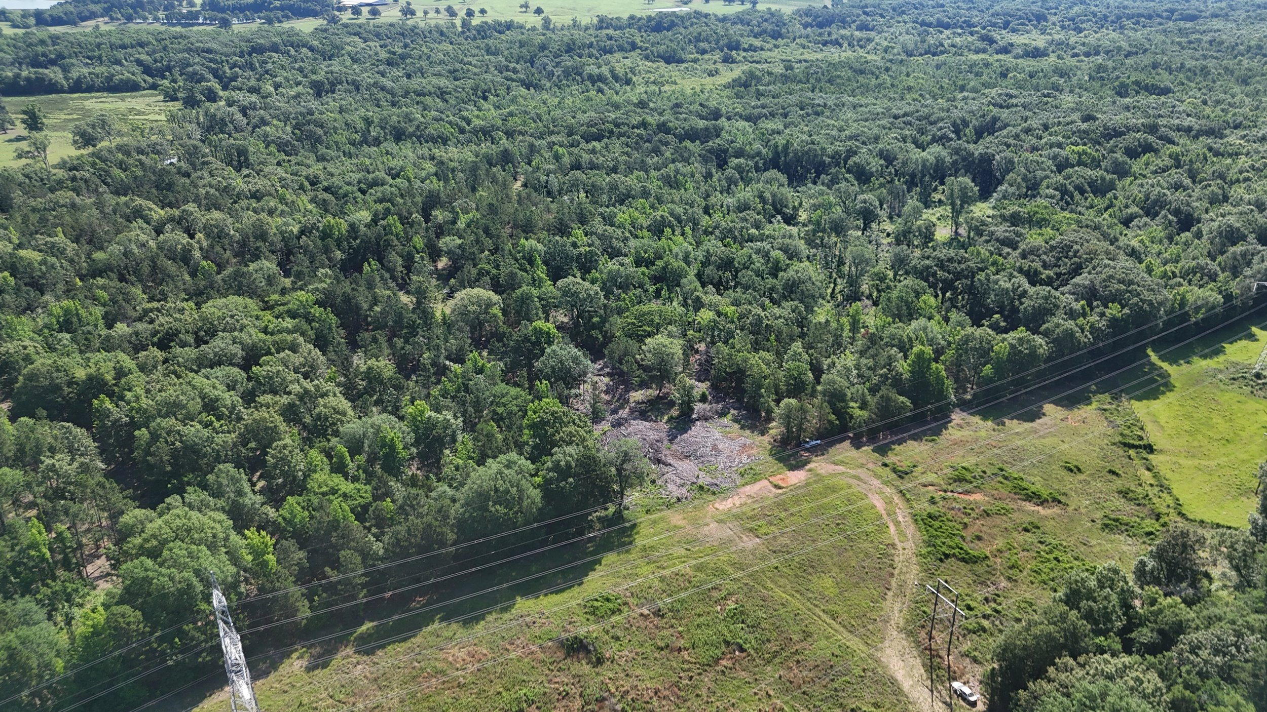
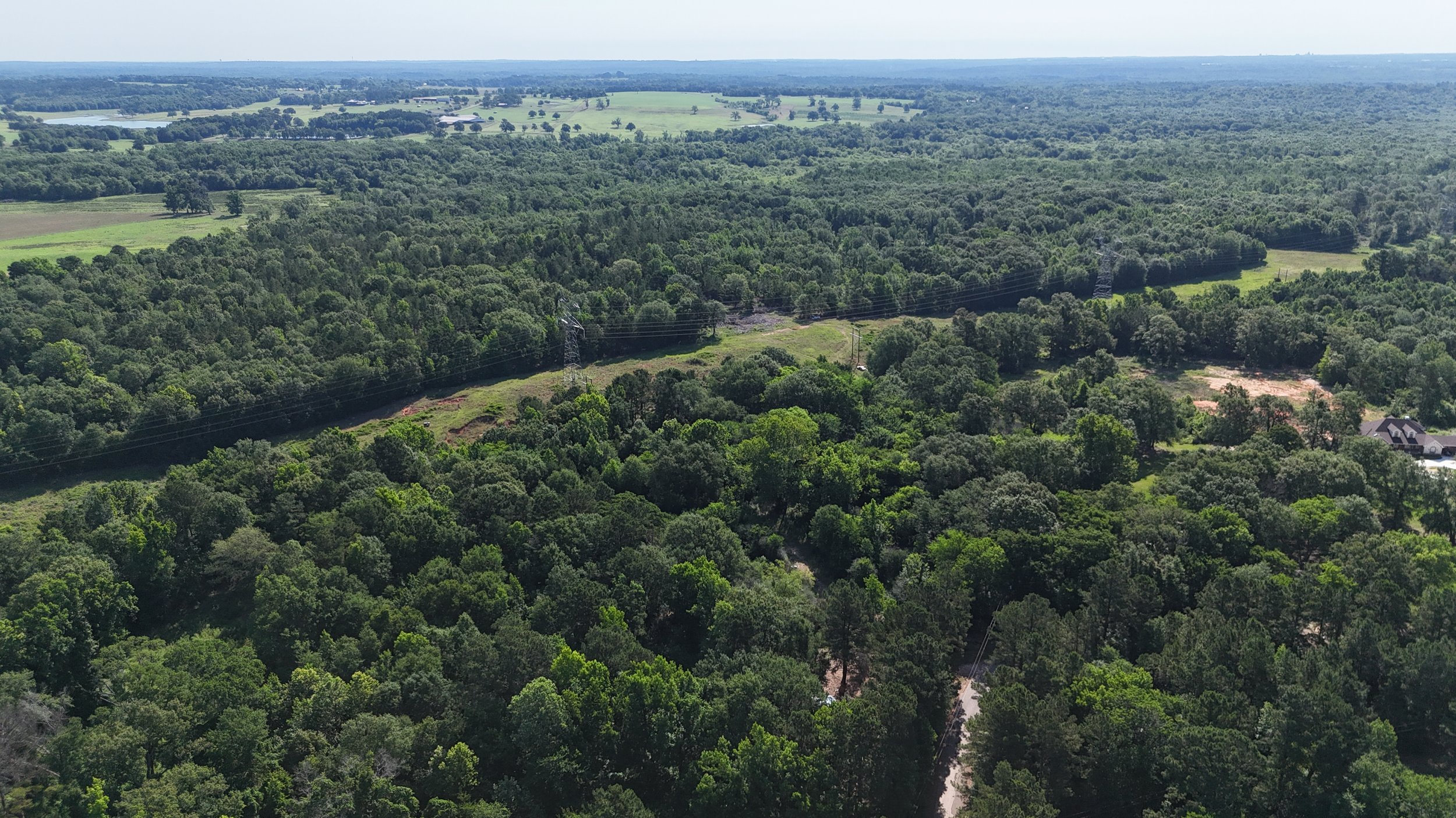
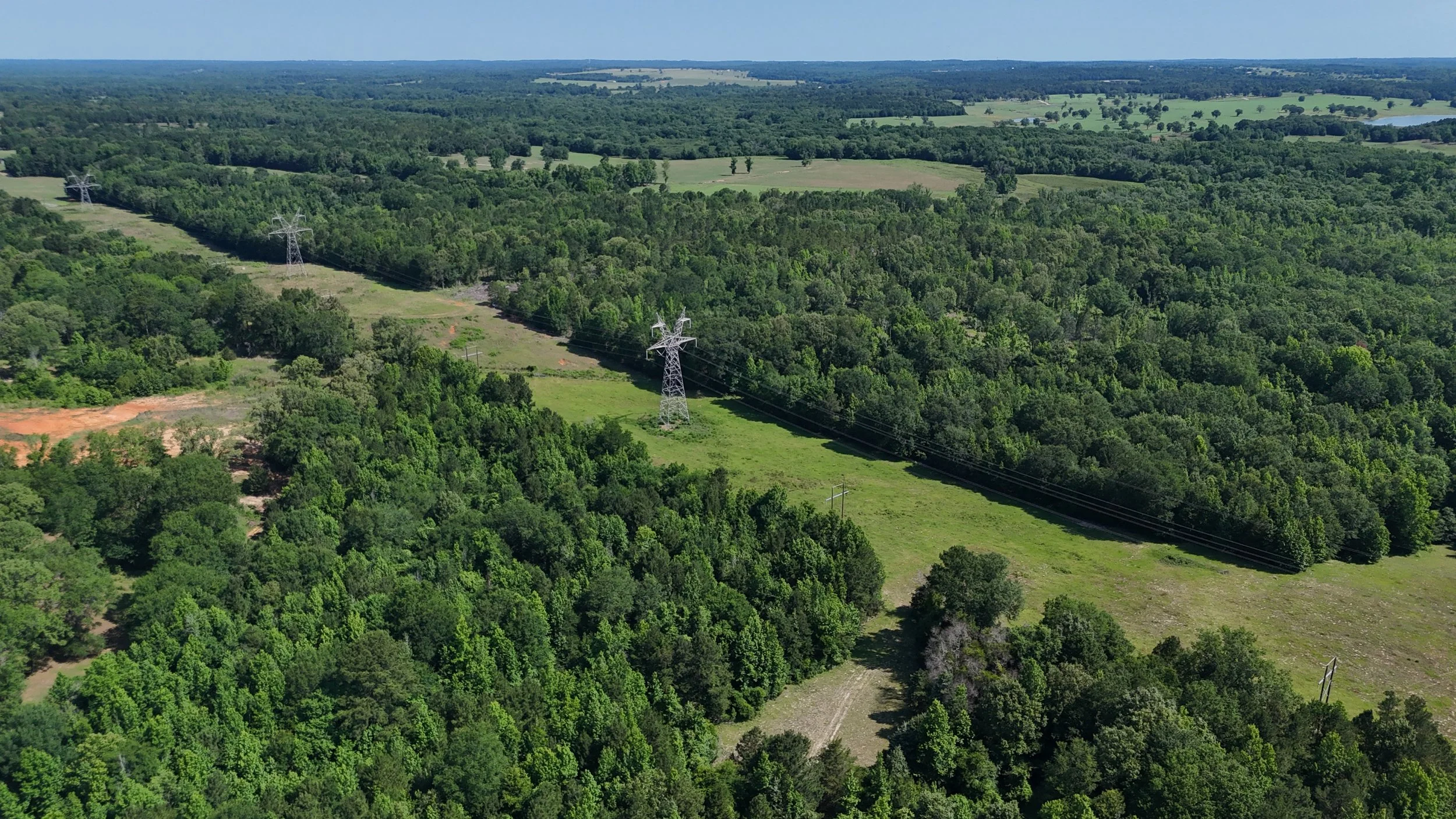
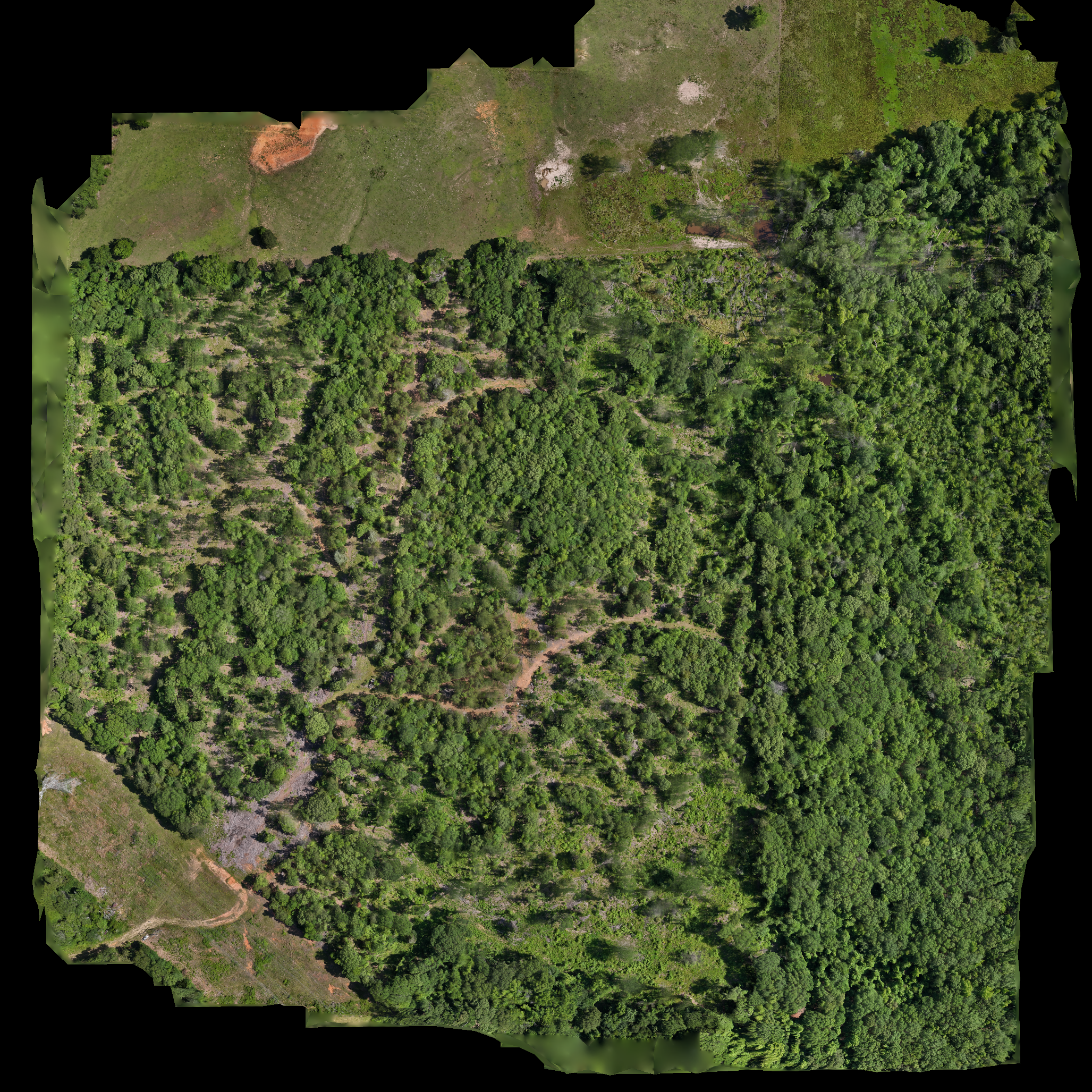
An orthomosaic map is a geometrically corrected, high-resolution aerial image that can be used for accurate measurement and analysis — unlike standard drone photos which distort distance and scale. Craig Charles Pro Drones produces georeferenced orthomosaic maps that give land developers, surveyors, and property owners a precise overhead view of any site. Measure distances, calculate areas, identify boundaries, and assess site conditions with a level of accuracy and detail that ground-based photography cannot provide.
3D Modeling & Site Visualization
Beyond flat maps, drone data can be processed into detailed 3D models of properties, structures, terrain, and landscapes. These models give developers, architects, and engineers a fully navigable three-dimensional representation of a site — useful for design planning, volume estimation, stakeholder presentations, and identifying potential issues before construction begins. 3D models also serve as powerful marketing tools for large development projects, giving buyers and investors a realistic visualization of the site and its surroundings.
Construction Site Mapping & Progress Tracking
Drone mapping provides construction teams with accurate, up-to-date overhead data at every phase of a project. Orthomosaic maps and 3D models captured at regular intervals create a precise visual and spatial record of site progress — tracking earthwork, grading, foundation work, and structural development with measurable accuracy. Teams can compare maps from different dates to assess progress, verify quantities, and document site conditions for reporting and compliance purposes.
Land Development & Pre-Construction Planning
Before development begins, drone mapping delivers a comprehensive spatial baseline of the full site — topography, existing structures, access points, drainage patterns, and boundary conditions. This data informs site planning, reduces surprises during construction, and gives engineering and design teams accurate inputs from day one. For large parcels and complex terrain, drone mapping is significantly faster and more cost-effective than traditional ground survey methods.
Agricultural & Large Area Mapping
Farms, ranches, and large rural properties present a scale challenge that drone mapping solves efficiently. Orthomosaic maps of agricultural land provide accurate field boundaries, crop coverage assessments, and irrigation layout documentation across hundreds of acres in a single flight session. Property owners and agricultural managers gain a precise overhead record of their land that supports planning, reporting, and operational decision-making throughout the season.
Real Estate & Property Marketing
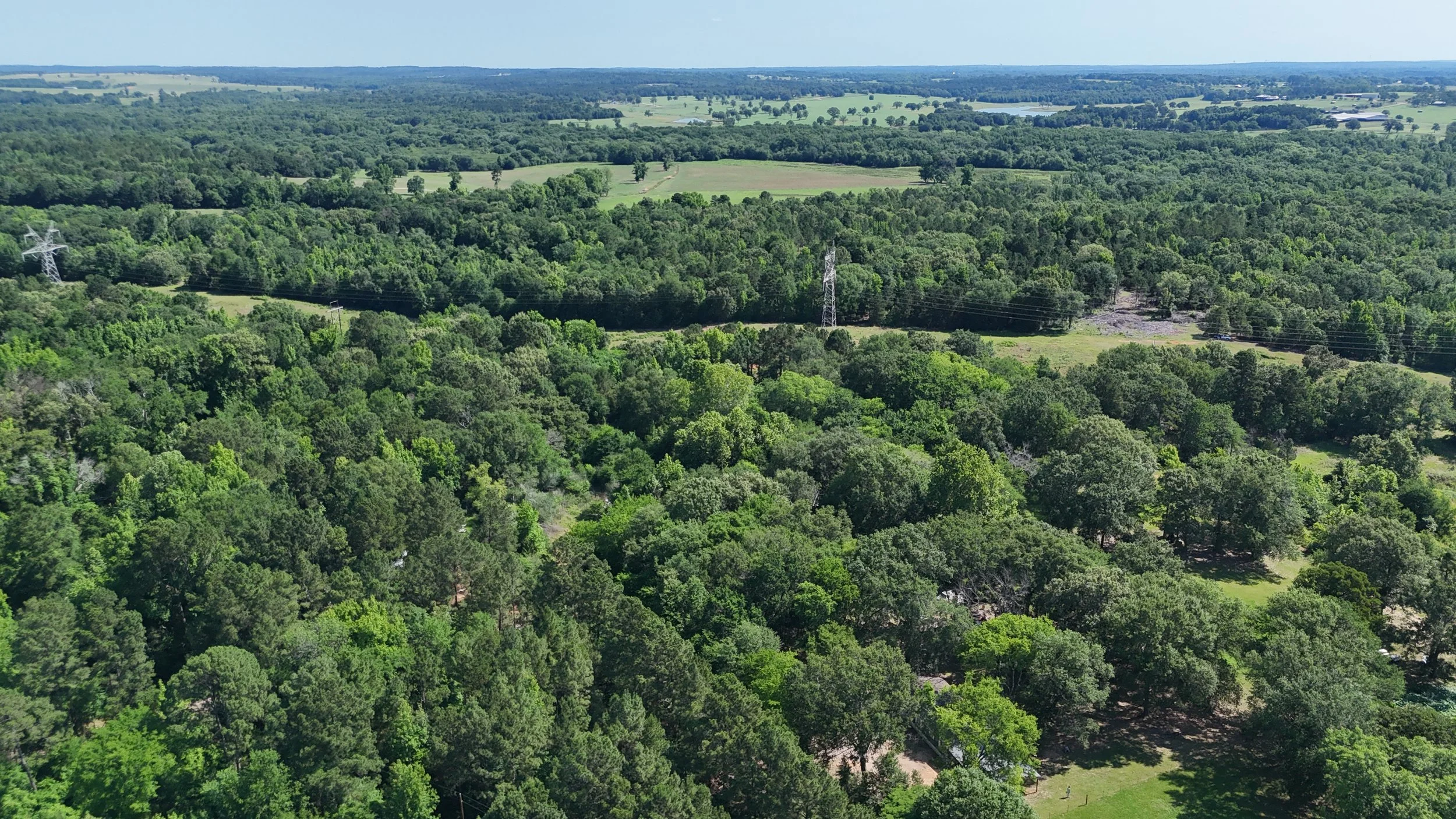
Large properties, estates, and development parcels benefit from drone mapping as a marketing tool. A high-resolution orthomosaic map of a listing gives buyers and investors a precise, to-scale aerial view of the property and its boundaries — far more informative than standard drone photos. Combined with a 3D model for larger parcels, mapped aerial data communicates scale, layout, and property value in a way that accelerates buyer confidence and decision-making.